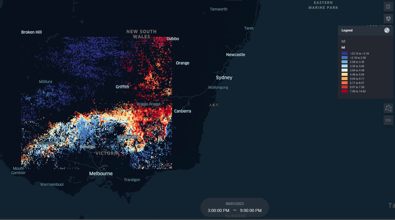
Map your Data
Use Kepler to create interactive data overlays
Data mapping with Kepler
Kepler.gl is a powerful open-source geospatial analysis tool. It allows users to visualize large-scale geospatial data sets in an interactive and customizable way. With Kepler.gl, you can create dynamic maps, overlay different data layers, apply filters, and perform various spatial analysis tasks. Kepler documentation can be found here.
Learn how to use Kepler on Eratos by completing the tutorial below:

Updated 6 months ago
